
Our Survey Services

Traditional Land Survey
A Traditional Land Survey is a comprehensive survey that accurately determines property boundaries, dimensions, and existing site features. It is essential for property development, construction planning, renovations, land subdivision, and resolving boundary or legal disputes.
Our survey provides precise measurements and detailed documentation to help ensure compliance with property records and local regulations, giving property owners, developers, and legal professionals reliable information for informed decision-making.

Boundary Survey
A Boundary Survey accurately identifies and marks the legal boundaries of a property based on existing records, survey evidence, and field measurements. It is essential for resolving boundary disputes, confirming property lines before buying or selling land, installing fences or other improvements, and planning new construction near property boundaries.
This survey helps protect property rights, prevent encroachments, and ensure compliance with legal and regulatory requirements.
Subdivision Survey
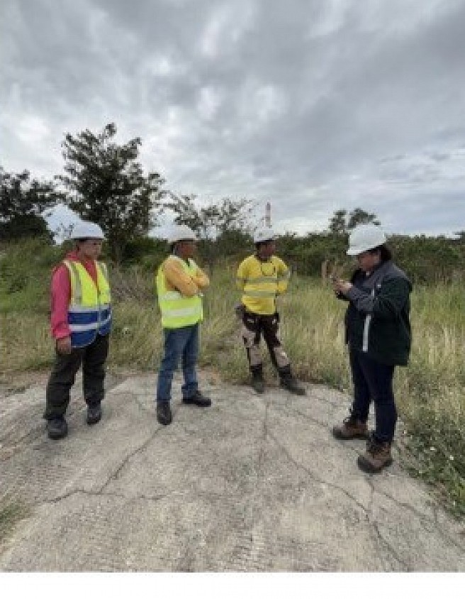
A Subdivision Survey is the process of dividing a larger parcel of land into smaller lots in accordance with applicable laws, regulations, and local government requirements. It is commonly required for residential, commercial, or industrial land development, property sales, estate distribution, and municipal approval.
This survey ensures that each new lot is accurately measured, properly documented, and legally compliant, providing a solid foundation for future development and property transactions.
Consolidation Survey
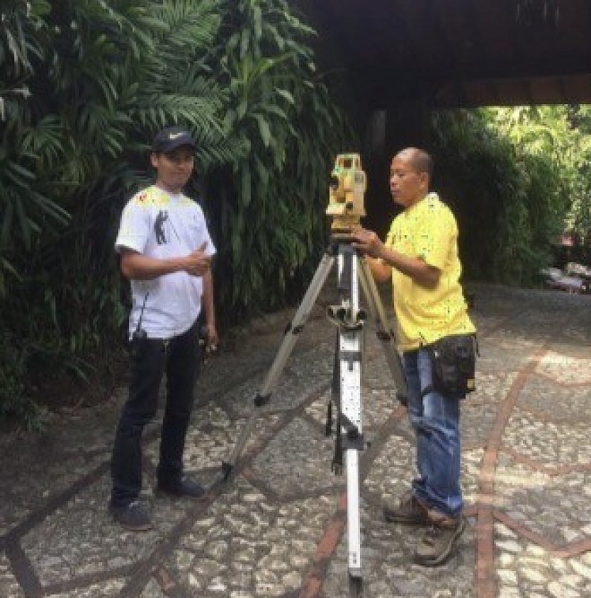
A Consolidation Survey combines two or more adjoining parcels of land into a single tract in accordance with applicable laws, regulations, and land registration requirements. It is commonly conducted after acquiring adjacent properties, simplifying land ownership, or updating property records.
This survey ensures the merged property is accurately measured, properly documented, and legally recognized, providing a seamless and compliant foundation for future development, property management, and land transactions.

Verification Survey
A Verification Survey confirms the accuracy of existing property boundaries, dimensions, and site features by comparing field measurements with available survey records and legal documents. It is commonly required before property transactions, construction projects, or to resolve boundary discrepancies and ownership disputes.
This survey helps ensure that property information is accurate, up to date, and compliant with legal requirements, providing confidence for landowners, buyers, developers, and other stakeholders.

Cadastral Survey
A Cadastral Survey accurately determines and documents land boundaries, property ownership, and other legal interests in land for official registration and record-keeping. It is essential for land titling, government cadastral records, urban planning, land administration, and property management.
This survey ensures that property boundaries are accurately measured and legally documented, supporting secure land ownership, regulatory compliance, and informed planning and development.
Site Development Survey
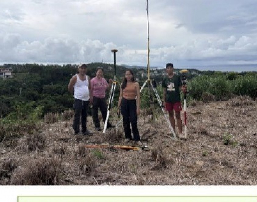
A Site Development Survey provides detailed information about a property's topography, existing features, utilities, and site conditions to support the planning and design of construction projects. It is essential before developing residential, commercial, or industrial properties, ensuring that site plans are based on accurate and reliable survey data.
This survey helps architects, engineers, and developers make informed design decisions, optimize land use, and ensure compliance with project requirements and applicable regulations.
Topograpic Survey
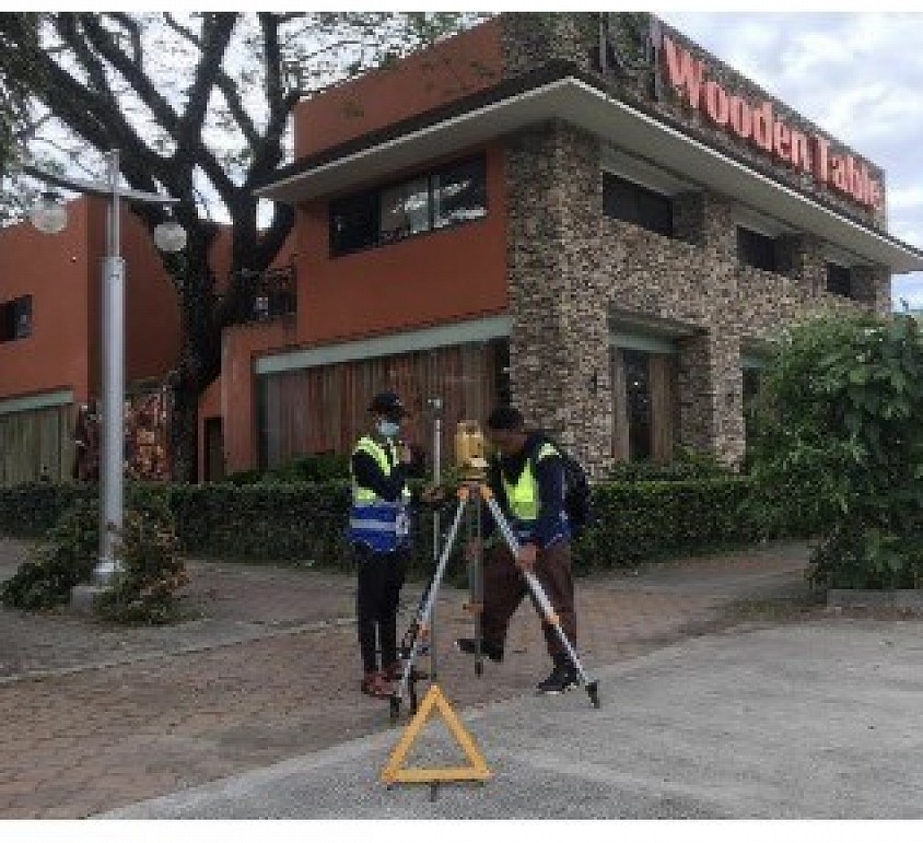
A Topographic Survey accurately maps the natural and man-made features of a property, including elevations, contours, buildings, roads, trees, utilities, and other existing site conditions. It is essential for planning, engineering, architectural design, and construction projects, providing a detailed representation of the land's terrain.
This survey helps architects, engineers, and developers evaluate site conditions, optimize project designs, and ensure efficient planning and regulatory compliance.
